The district · Kalasa

Kalasa

ಕಲಸಾ

Kalasa–Horanadu country, carved from older Mudigere; waterfalls and Kudremukh approaches.

Waterfalls · 4Temples · 3Dams & reservoirs · 1Peaks & viewpoints · 2Wildlife & forests · 1Coffee country & ghats · 1Treks · 4

16 places in this companion, descriptions from district tourism, temple and forest pages already on the public web. Not a complete gazetteer.

This taluk

Places on the map.

The district overview hid every pin. Here the listed sights sit on Kalasa’s OSM polygon. Click a marker to jump to its notes below.

Back to nine taluks

Visitor notes

Every listed place in Kalasa.

Hours, approach and “why people stop” come from public pages, the district, Karnataka Forest Department, mathas, not from a booking desk. Confirm before you go.

Lakya Dam

Dams & reservoirs · Kalasa

Lakya Dam

ಲಾಕ್ಯ ಅಣೆಕಟ್ಟು

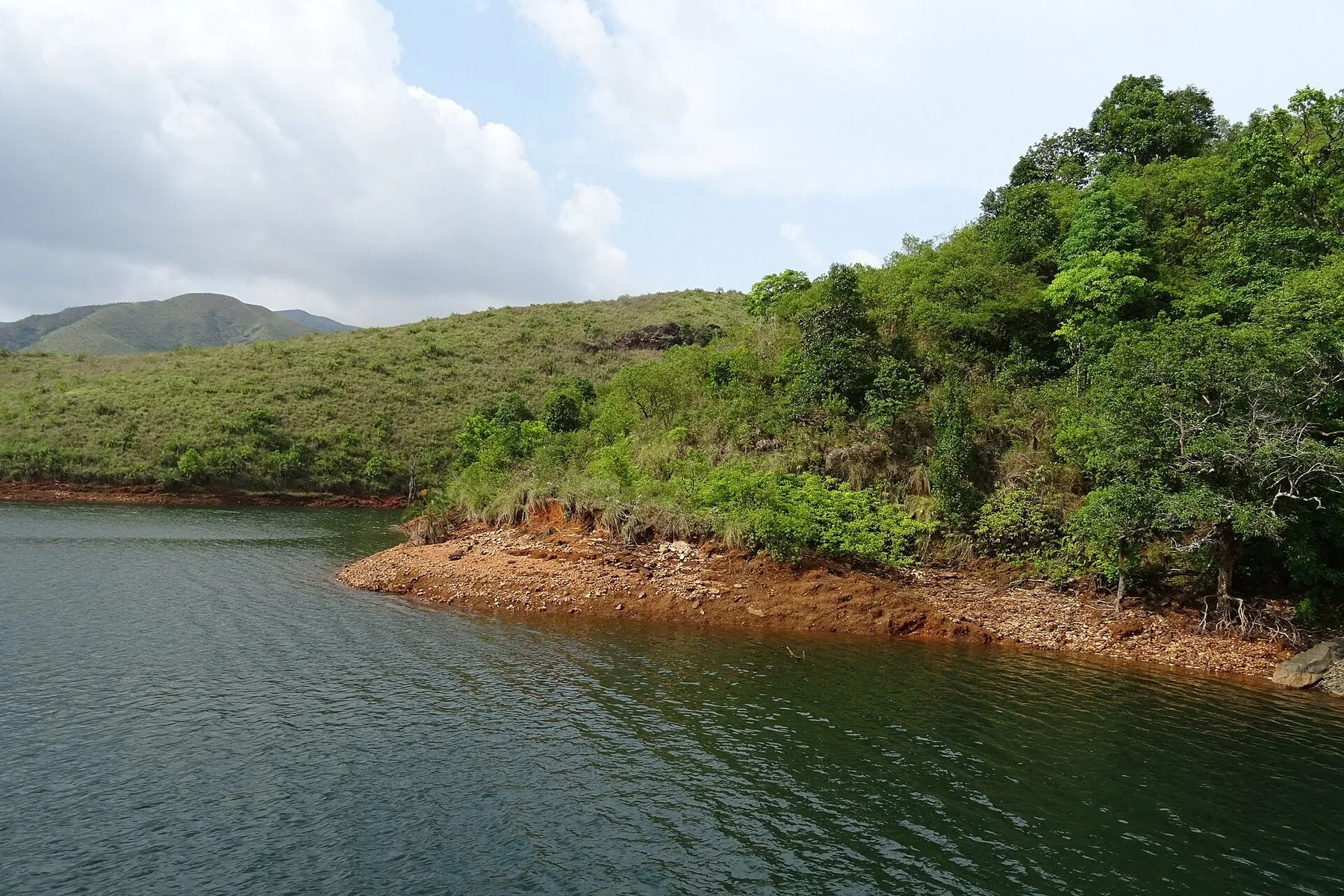
Lakya Dam is part of the Kudremukh area’s former iron-ore infrastructure, now a still waterbody set in recovering hills.

A quiet sheet of water on Kudremukh lists, not a town lake, and not a sports reservoir.

Daylight; park-edge country, The old tailings dam, now still water under grassland. Access follows forest and local practice.

This is inside or beside a national park landscape. Access is not guaranteed; follow forest-department instructions and do not enter closed mining or forest zones.

October – February

Chandranatha Basadi, Kalasa

Coffee country & ghats · Kalasa

Chandranatha Basadi, Kalasa

Chandranatha Basadi, Kalasa

A Jain basadi in a Shaiva temple town, the other half of Kalasa's history.

A Jain basadi at Kalasa. A working shrine; photography and hours follow the basadi, not a brochure.

All year

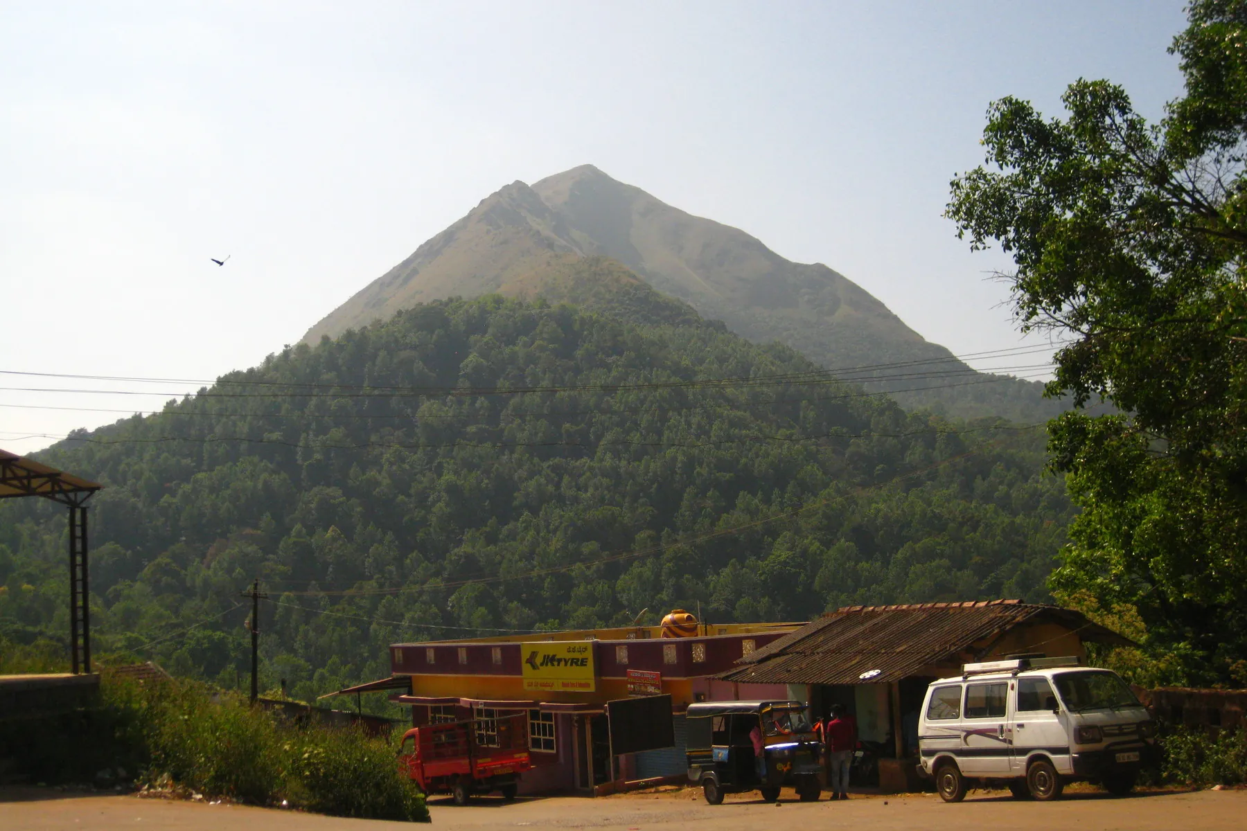
Gangamoola (Varaha Parvatha)

Peaks & viewpoints · Kalasa

Gangamoola (Varaha Parvatha)

Gangamoola (Varaha Parvatha)

One hill, three rivers, the Tunga, the Bhadra and the Netravathi all start here.

Varaha Parvatha, the hill where the Tunga, Bhadra and Netravathi are said to rise. Inside Kudremukh country; enter only as the forest department currently allows.

November – February

Kudremukh Peak

Peaks & viewpoints · Kalasa

Kudremukh Peak

ಕುದುರೆಮುಖ

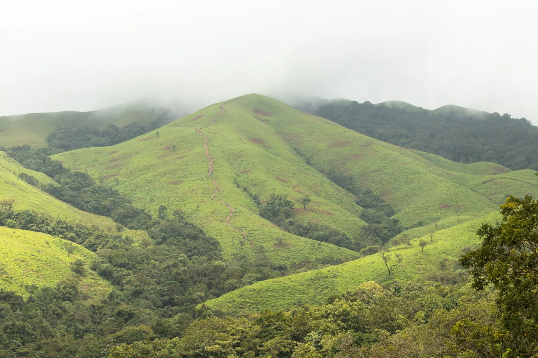
Kudremukh Peak, about 81 km from Chikkamagaluru by the brochure, is among the finest trekking experiences in South India and leads toward the third-highest peak in Karnataka. Trails pass grasslands, forests, streams and ridges with rich biodiversity. Nearest attractions: Netravathi Peak, Kalasa, Hanumanagundi Falls.

The peak that gives the park its name. Tripadvisor ranks it with Mullayanagiri among mountain walks, but this one is a notified forest, not a town hill road.

Forest-permit daylight, Inside Kudremukh National Park. Treks run only when the forest department allows them. Confirm the current window at a park counter, not from a blog.

The peak lies inside Kudremukh National Park. Forest-department permission is generally required for treks. Do not treat informal trail notes as a permit. Check the Karnataka Forest Department before planning. Best route: Approach via Kudremukh park routes; summit walks are long grassland/forest treks (brochure notes ~22 km trail character through grasslands, forests, streams and ridges).

October – February · 1,894 m
Horanadu Annapoorneshwari Temple

Temples · Kalasa

Horanadu Annapoorneshwari Temple

ಹೊರನಾಡು ಅನ್ನಪೂರ್ಣೇಶ್ವರಿ

Sri Annapoorneshwari Temple at Horanadu, about 100 km from Chikkamagaluru on the banks of the Bhadra amid Western Ghats forests and coffee hills, draws thousands of devotees. It is widely known for the tradition of serving free meals to all visitors. Nearest attractions: Kalasa, Kudremukh, Bhadra River.

A forest-wrapped shrine to the goddess of food, toward Kalasa. Pilgrim lists and Tripadvisor both keep it among the district’s most visited temples.

06:00–21:00, The temple’s site lists darshan 6:00 AM to 9:00 PM, with a traditional dress code. Annadana follows the kitchen. Festival days move.

Ghat roads from Mudigere or Kalasa are winding. Temple meal times, dress codes and any online seva are published by the temple administration, use their notices, not third-party lists.

September – February

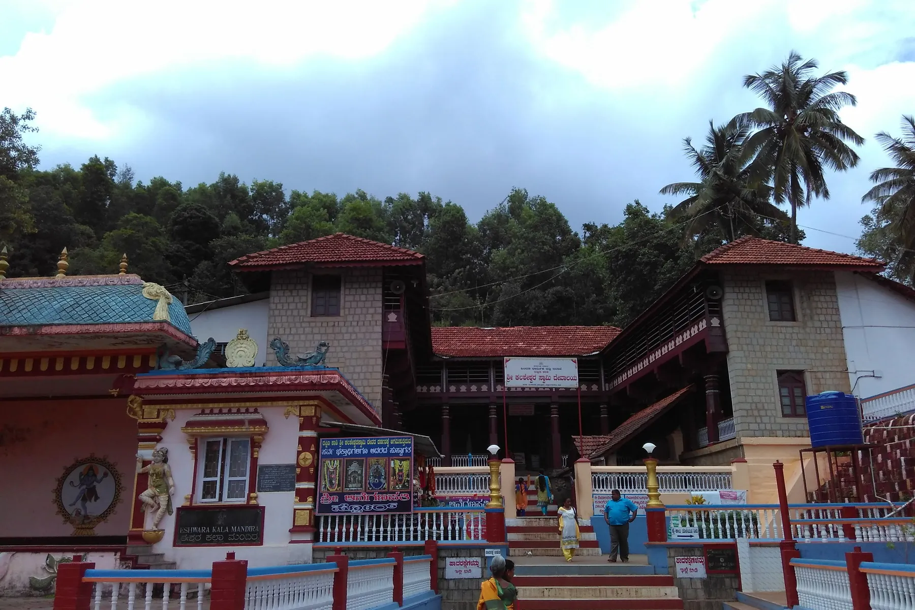
Kalasa & Kalaseshwara Temple

Temples · Kalasa

Kalasa & Kalaseshwara Temple

ಕಲಸಾ ಕಲಸೇಶ್ವರ

Kalaseshwara Temple at Kalasa stands on the banks of the Bhadra River, about 92 km from Chikkamagaluru, surrounded by Malnad hills. Dedicated to Lord Shiva with a sacred Linga and traditional South Indian architecture, it is known for its annual Rathotsava festival. Nearest attractions: Horanadu, Kudremukh, Bhadra River.

The waypoint 2-day Kalasa–Horanadu drives actually stop at, not only pass.

Temple daylight, The taluk town shrine on the way to Horanadu and the Kudremukh approaches. Living temple rules apply.

Often combined with Horanadu on the same ghat circuit. Confirm road status in monsoon.

September – February

Sarva Siddhi Ganapathi Temple, Samse

Temples · Kalasa

Sarva Siddhi Ganapathi Temple, Samse

Sarva Siddhi Ganapathi Temple, Samse

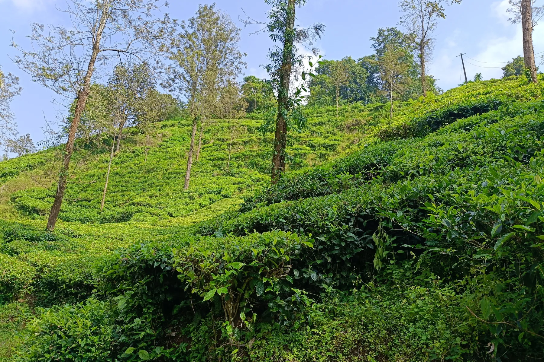
A Ganapathi shrine standing in the middle of a tea estate, ten kilometres from Kalasa.

A Ganapathi shrine in tea country near Samse / Kalasa. Living temple; follow their dress and hours.

October – February

Gangadikal Peak

Treks · Kalasa

Gangadikal Peak

Gangadikal Peak

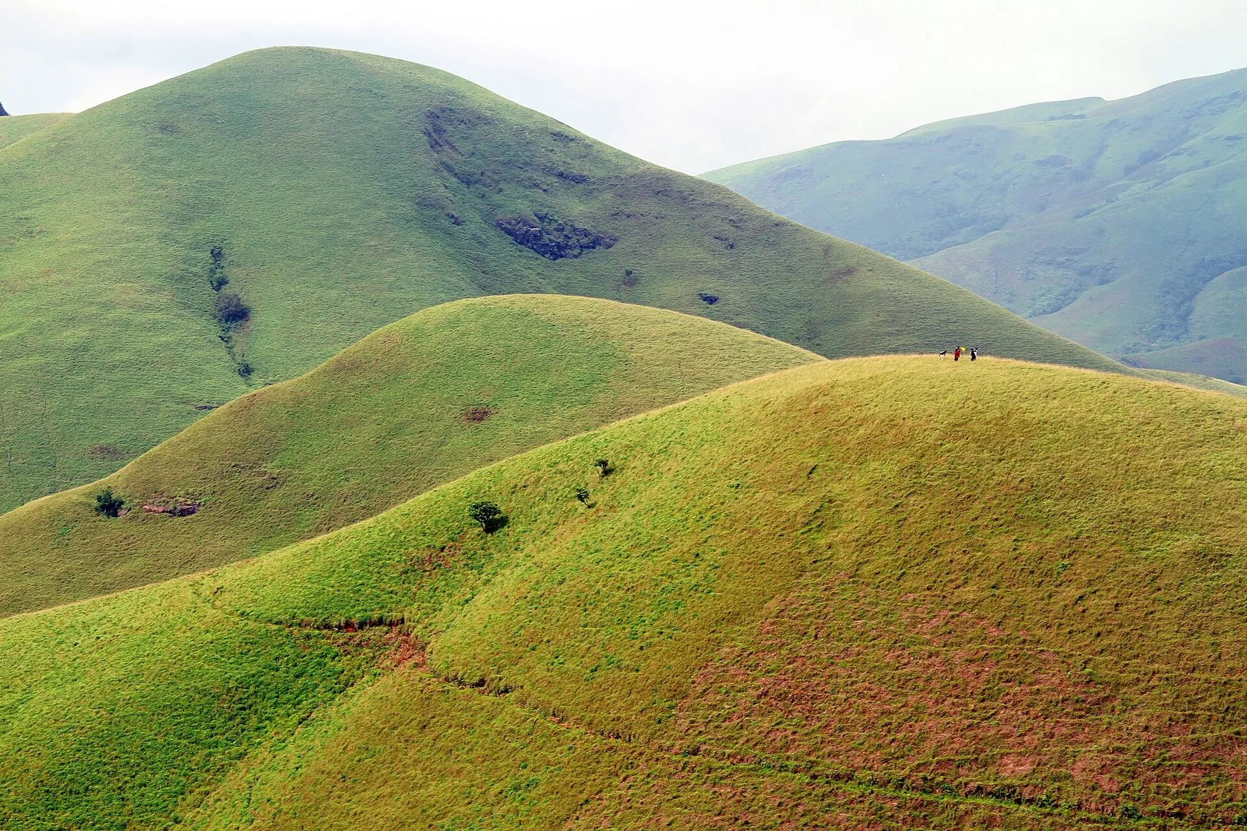
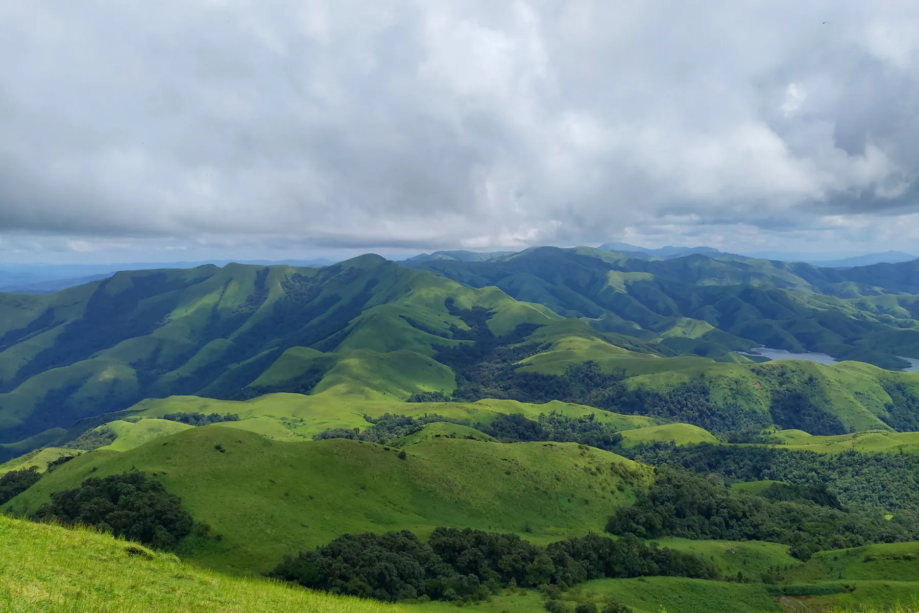
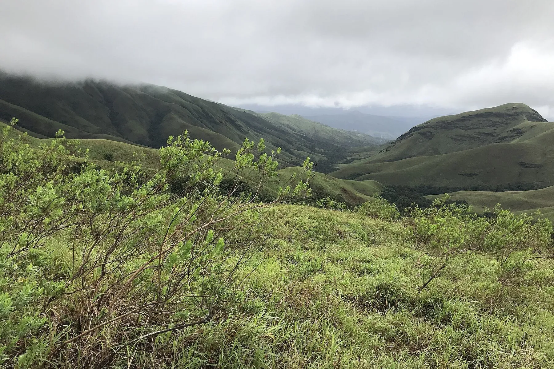
Rolling shola grassland near the three-river source, with the Kudremukh massif on the horizon.

Rolling shola near the three-river source, with Kudremukh on the horizon. Treat as park-edge country: permits if required, no invented fees.

November – February

Kurinjal Peak

Treks · Kalasa

Kurinjal Peak

Kurinjal Peak

Seven kilometres each way from Bhagavathi camp, through rainforest into grassland.

A grassland walk toward the Kudremukh massif. Permits and seasonal closures belong to Kudremukh National Park / the forest department.

October – February

Meruthi Gudda

Treks · Kalasa

Meruthi Gudda

Meruthi Gudda

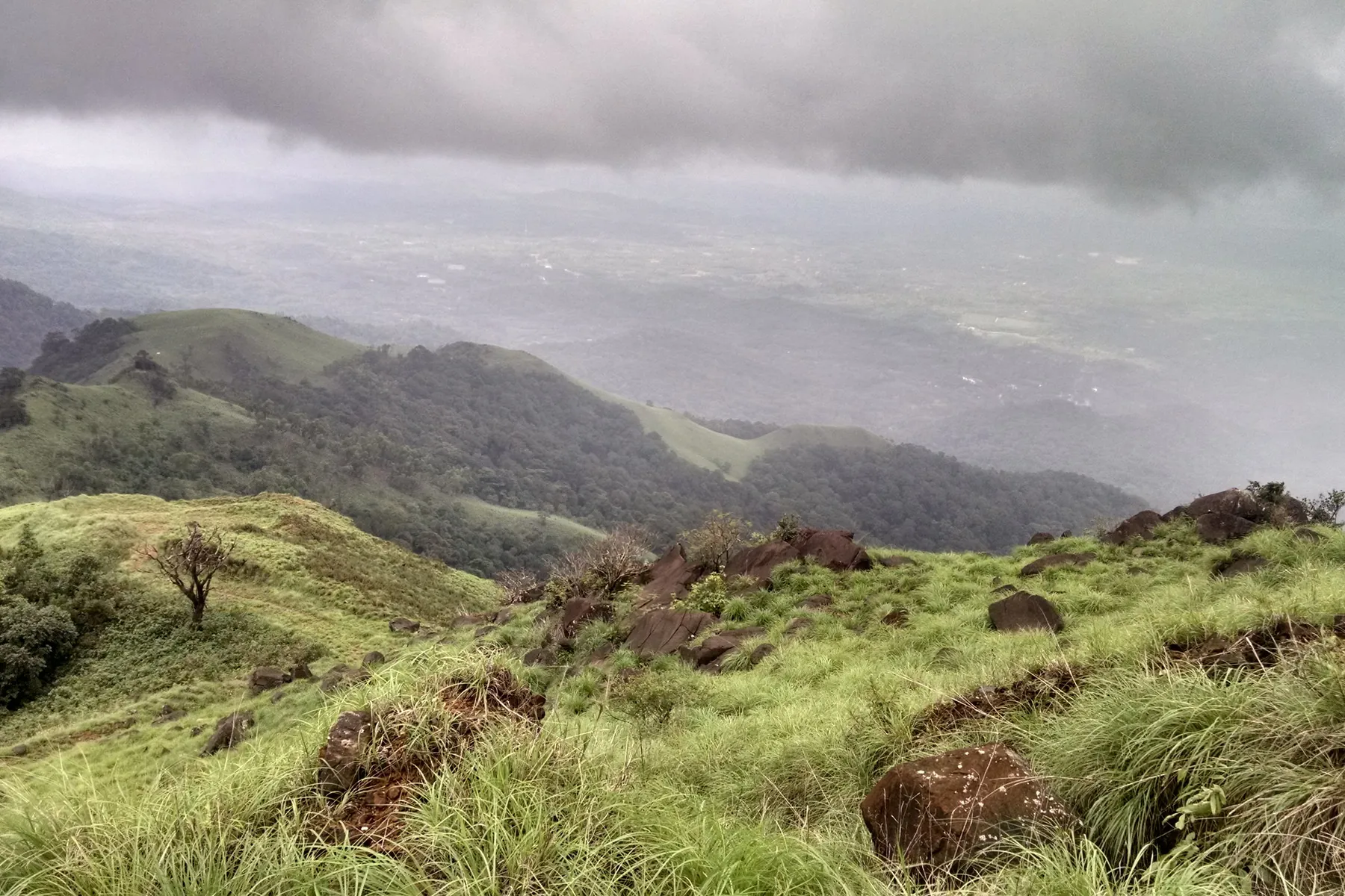
A half-day grassland climb outside the park core, the trek to do when the permits have gone.

A half-day grassland climb outside the Kudremukh core. When park permits are gone, this is the walk people still ask about, still check weather and access on the ground.

October – February

Netravathi Peak

Treks · Kalasa

Netravathi Peak

Netravathi Peak

Netravathi Peak lies in the Kudremukh Forest Range. Named after the sacred Netravathi River that originates in this region, the trek (brochure elevation about 4,100 ft) moves through shola forest, streams and rolling grassland with views toward Kudremukh Peak and Rani Jhari Valley. Nearest attractions: Kudremukh, Rani Jhari Viewpoint, Kalasa.

A grassland walk above the Netravathi headwaters. Park rules and the monsoon decide access. Confirm at a forest counter. Best route: Trek through Kudremukh Forest Range — shola forests, streams and grasslands.

November – February · approx. 4,100 ft

Elaneer Falls

Waterfalls · Kalasa

Elaneer Falls

ಏಲನೀರು ಜಲಪಾತ

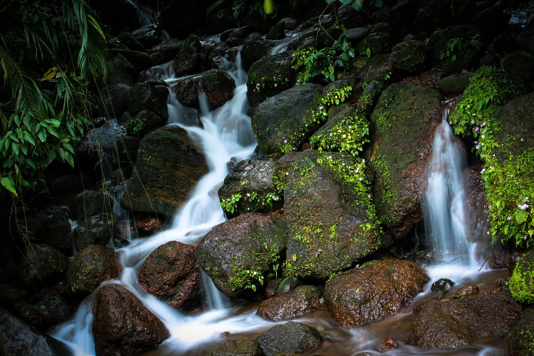
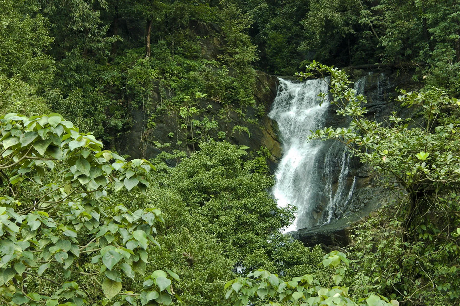
Elaneer (Elaneeru) Falls near the village of Samse, about 80 km from Chikkamagaluru, is a hidden treasure of the district. A trek through dense forest paths leads to pure water cascading from great heights in undisturbed Western Ghats nature.

Forest trek — weather and daylight matter. Ask in Samse for the current path. Best route: Drive on SH65 toward Samse; Elaneer Falls is near Samse.

July – January

Hanuman Gundi Falls

Waterfalls · Kalasa

Hanuman Gundi Falls

ಹನುಮಾನ ಗುಂಡಿ

Hanumanagundi Falls lies in the heart of Kudremukha National Park, about 80 km from Chikkamagaluru city by the tourism brochure. Named after Lord Hanuman, the fall drops from a considerable height. Reaching it means a trek through dense Western Ghats forest, with a chance to see the park’s flora and fauna.

The waterfall 2-day Kudremukh sketches mention after the grasslands. It is a forest place first.

Only with park access, A rock-cut plunge in notified forest. Closed when the park is closed. No fee is invented here.

Only with valid Kudremukh / forest access. Confirm permits and trail status before you go. This is notified forest, not an open roadside waterfall. Best route: Take SH66 (Chikkamagaluru–Kudremukha Road) toward Kudremukha National Park; follow signs to Hanumana Gundi Falls.

August – January

Kadambi Falls

Waterfalls · Kalasa

Kadambi Falls

Kadambi Falls

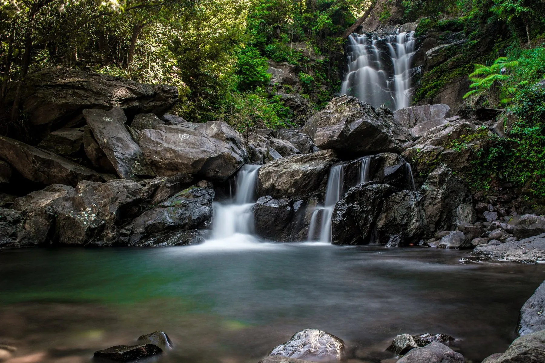
A thirty-foot fall through rock inside Kudremukh National Park, right beside the road.

Two-day west-side itineraries add it after Sringeri. Treat it as a seasonal cascade, not a swimming notice.

Daylight; liveliest after rain, A stepped fall in the Sringeri–Kigga country. Slippery laterite. No stable public fee is listed here.

A stepped fall near Kigga, often treated as a family stop after rains. Rocks are slippery; there is no stable public fee listed here.

July – January

Soor Mane Falls

Waterfalls · Kalasa

Soor Mane Falls

ಸೂರುಮನೆ ಜಲಪಾತ

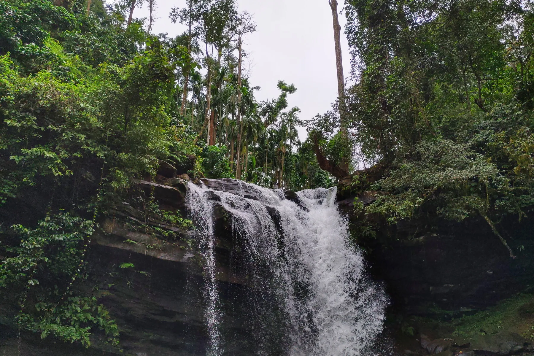
Soor Mane (Soormane) Falls near Kalasa, about 65 km from Chikkamagaluru, is a serene lesser-known waterfall surrounded by lush forest. Reached by a short trek, it is a peaceful nature retreat and a popular spot for photography and pre-wedding shoots. Distinct from Sirimane Falls near Sringeri.

Not the same place as Sirimane Falls (Sringeri side). Confirm Kalasa-side access locally. Best route: Take NH173 toward Kalasa; the falls are accessible from Kalasa.

July – January

Kudremukh National Park

Wildlife & forests · Kalasa

Kudremukh National Park

ಕುದುರೆಮುಖ ರಾಷ್ಟ್ರೀಯ ಉದ್ಯಾನವನ

Kudremukh National Park covers undulating mountains and tropical wet evergreen forest in Chikkamagaluru and neighbouring Dakshina Kannada. It is named for Kudremukh peak. Iron-ore mining here has been closed for conservation reasons.

Tiger, hornbill country and the story of three river sources. Weekend lists put it on day one; in practice it is a separate ghat day from town, not a quick add-on.

Park hours as notified, About 600 km² of grassland and wet evergreen forest. Enter only with a current forest permit. No stay or safari is sold here.

Entry, trekking and safari rules are set by the Karnataka Forest Department and change with season and fire risk. There is no substitute for an official permit. This site does not sell tickets.

October – February