The district · Mudigere

Mudigere

ಮೂಡಿಗೆರೆ

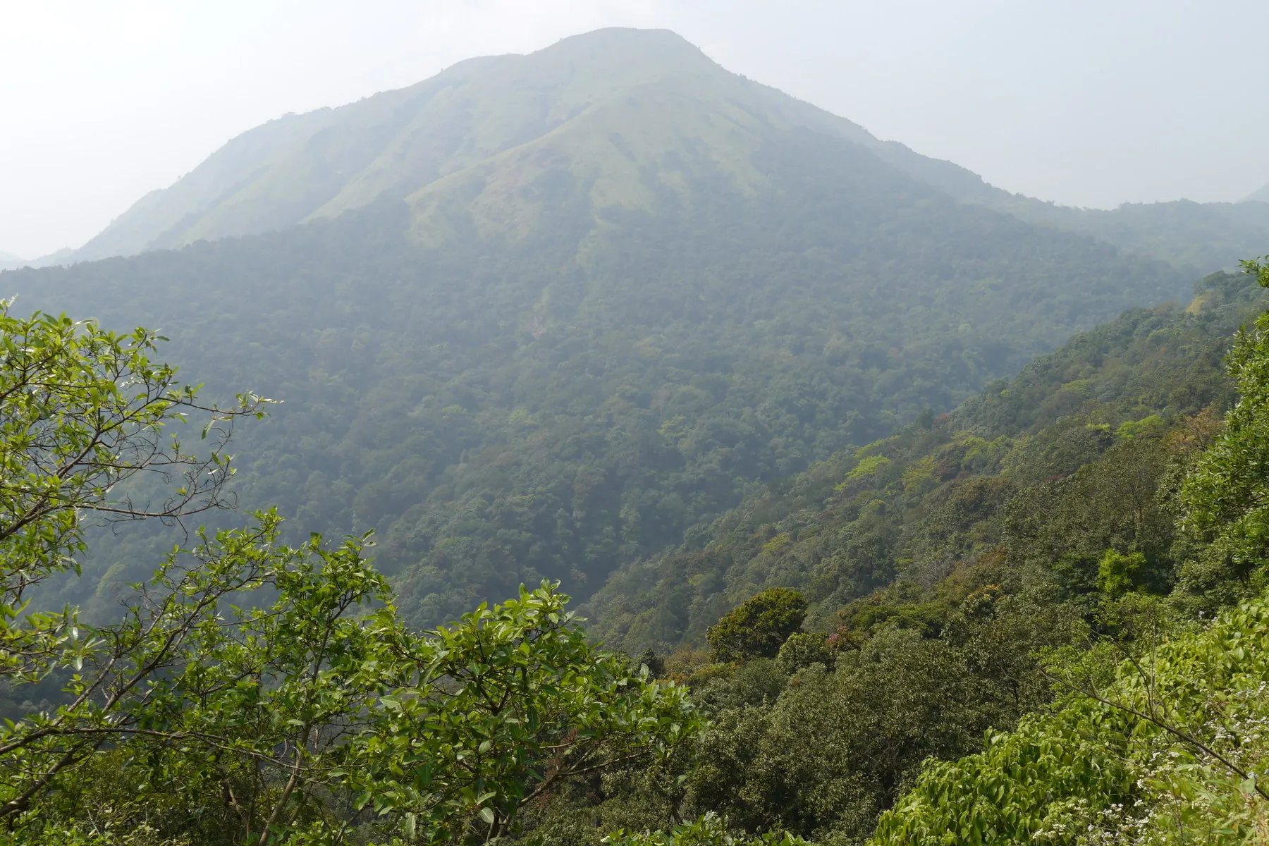
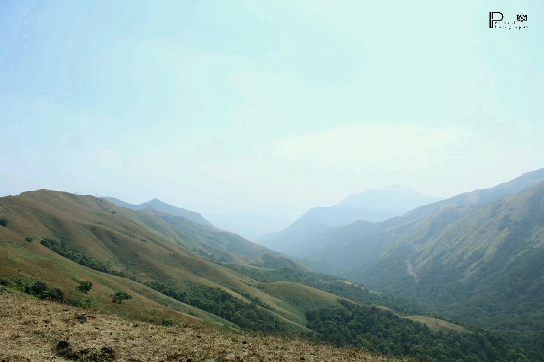
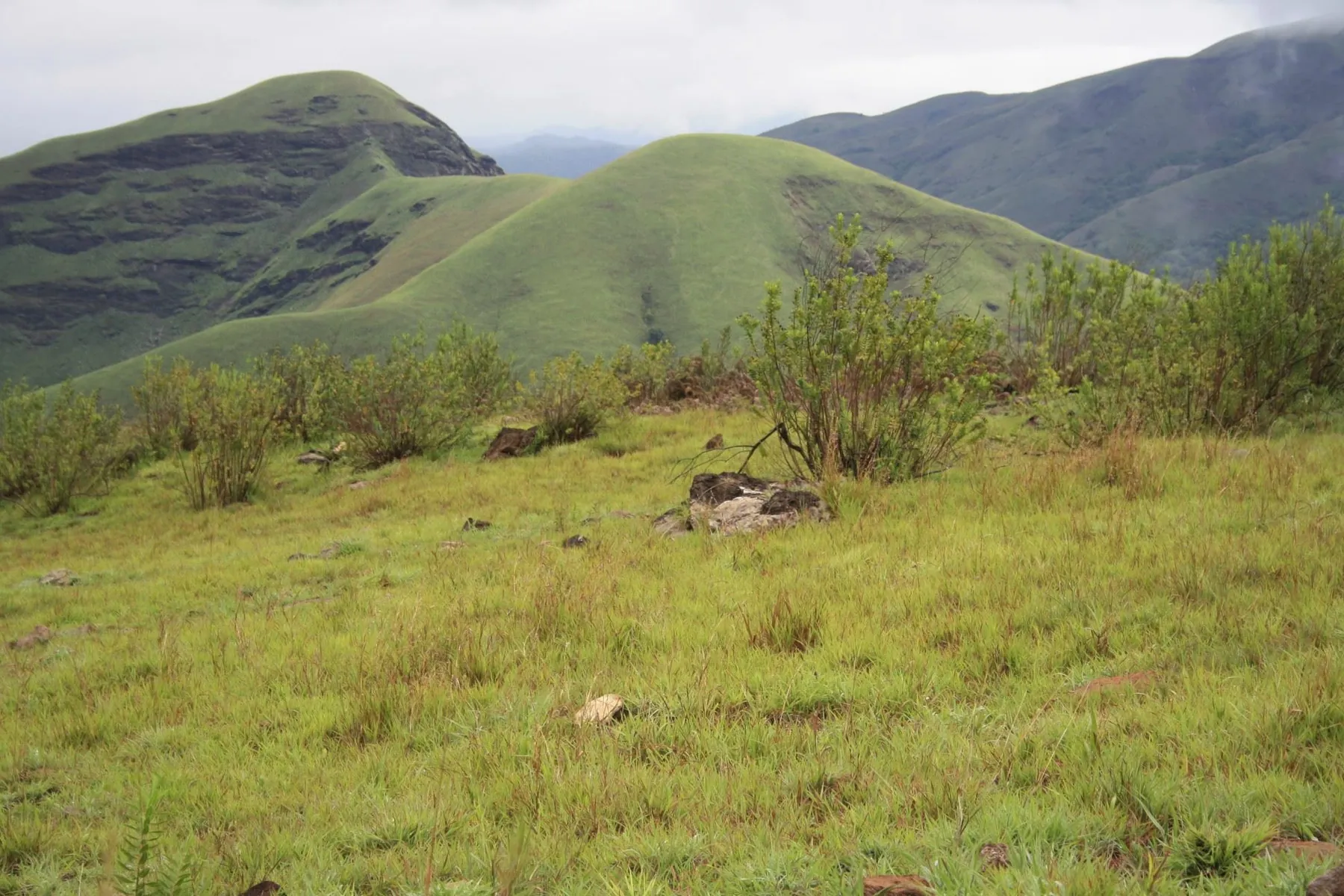
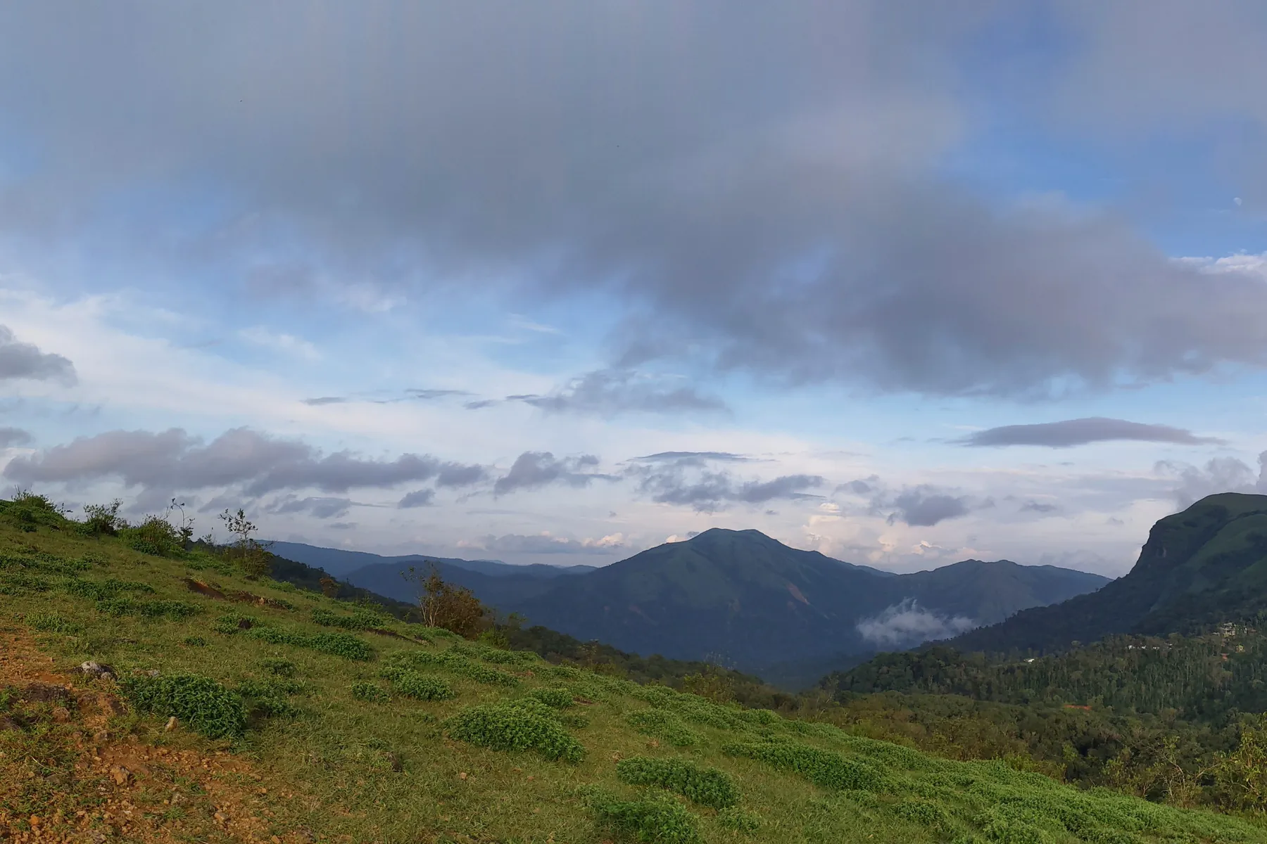
Coffee and cardamom slopes toward the Kudremukh ridge.

Waterfalls · 2Temples · 2Peaks & viewpoints · 1Coffee country & ghats · 1Viewpoints · 4Treks · 3Forts · 1

14 places in this companion, descriptions from district tourism, temple and forest pages already on the public web. Not a complete gazetteer.

This taluk

Places on the map.

The district overview hid every pin. Here the listed sights sit on Mudigere’s OSM polygon. Click a marker to jump to its notes below.

Back to nine taluks

Visitor notes

Every listed place in Mudigere.

Hours, approach and “why people stop” come from public pages, the district, Karnataka Forest Department, mathas, not from a booking desk. Confirm before you go.

Ballalarayana Durga

Forts · Mudigere

Ballalarayana Durga

Ballalarayana Durga

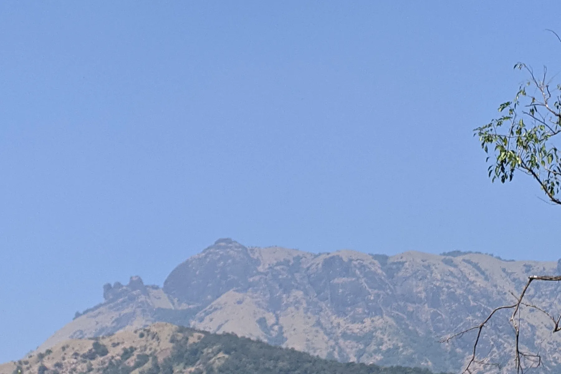
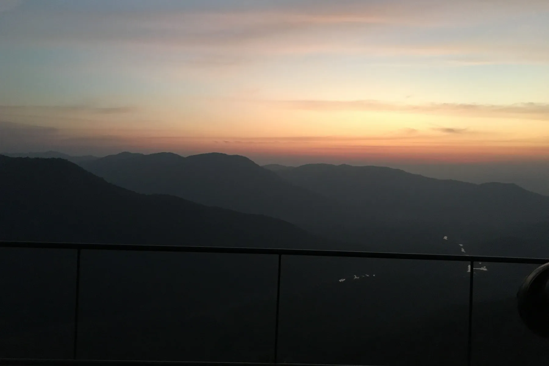
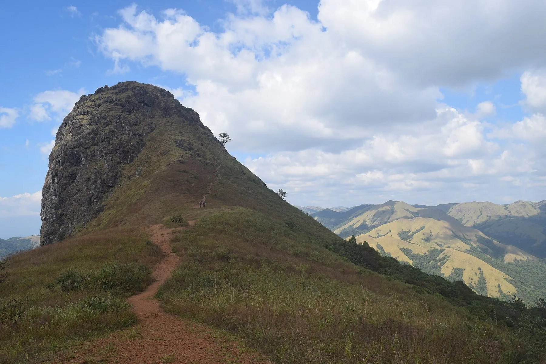
Ballalarayana Durga is a historic hilltop fort in the lush Western Ghats, about 72 km from Chikkamagaluru. Built in the Hoysala period and set at about 1,509 m, it is a popular trekking and camping destination with panoramic sunset views. Nearest attractions: Bandaje Falls, Kalabhairaveshwara Temple, Rani Jhari, Kudremukh, Kalasa.

A Hoysala-period hill fort on the Charmadi ridge, reached on foot through shola grassland. There is no ticket sold here. Forest and weather decide whether the walk is open.
October – February · 1,509 m

Kottigehara

Coffee country & ghats · Mudigere

Kottigehara

Kottigehara

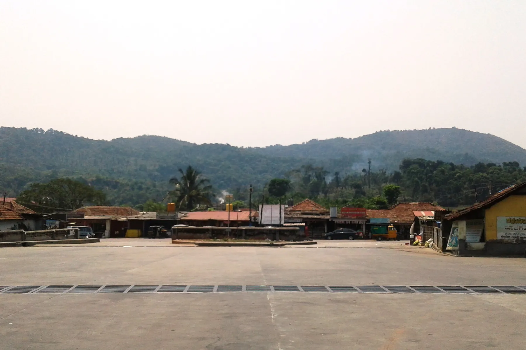
The junction town where the plateau ends and Charmadi begins, coffee, cardamom and the last fuel pump.

The plateau-edge junction where Charmadi begins, coffee, cardamom, and the last stretch before the ghat. A waypoint, not a ticketed sight.

All year

Ettina Bhuja

Peaks & viewpoints · Mudigere

Ettina Bhuja

ಎತ್ತಿನ ಭುಜ

Ettina Bhuja, popularly called the Ox’s Shoulder, is one of the most accessible and rewarding treks in these hills. The brochure records an elevation of about 4,265 feet, an easy-to-moderate trail through dense forest and rolling grassland, and panoramic views of the Charmadi and Shishila valleys. Nearest attractions: Mudigere, Devaramane, Charmadi Ghat.

The district’s best-known half-day climb on the Mudigere side. It appears on serious place lists more than on packed 2-day town loops.

Fair-weather half day, A rock nose over the Charmadi valley. Not a jeep summit. Carry water; turn around in cloud.

This is hill country with changing weather. Confirm current trail access with local forest or tourism counters; some grassland walks are periodically restricted. Tourism brochure lists 25 km from Chikkamagaluru; practical road+trail access is usually via the Mudigere / Charmadi side — confirm locally.

October – February · approx. 4,265 ft

Devarunda Prasanna Rameshwara Temple

Temples · Mudigere

Devarunda Prasanna Rameshwara Temple

ದೇವರುಂದ ರಾಮೇಶ್ವರ

Devarunda Prasanna Rameshwara Temple near Mudigere, about 55 km from Chikkamagaluru, is popularly known as Dakshina Kashi. The brochure describes a revered ancient Lord Shiva shrine, believed to be over 500 years old, with several deities in the complex and a serene cultural setting in lush Mudigere landscapes.

Living temple — dress and photography follow temple rules.

All year

Yoganarasimhaswamy Temple, Baggavalli

Temples · Mudigere

Yoganarasimhaswamy Temple, Baggavalli

ಬಗ್ಗವಳ್ಳಿ ಯೋಗನರಸಿಂಹ

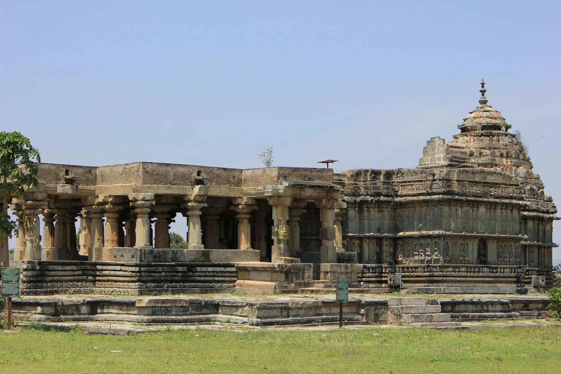
Yoganarasimhaswamy Temple in Baggavalli village (Mudigere Taluk), about 61 km from Chikkamagaluru, is an important Hoysala-period monument. Originally dedicated to Lord Keshava, it features sculptures of Yoganarasimha, Lakshmi and Ganesha and stands as a fine example of Hoysala craft in the taluk. Nearest attractions: Mudigere, Devaramane, Ettina Bhuja.

Living / heritage temple setting — follow local rules.

All year

Amedikallu

Treks · Mudigere

Amedikallu

Amedikallu

The hard one on the Charmadi ridge, steeper than Ettina Bhuja, rockier at the top, and far quieter.

A rock climb on the Charmadi side, steeper and quieter than Ettina Bhuja. Only in fair weather, with a local sense of the route. No fee is quoted here.

November – February

Bandaje Arbi Traverse

Treks · Mudigere

Bandaje Arbi Traverse

Bandaje Arbi Traverse

Two days from Sunkasale over Ballalarayana Durga and down past Bandaje Falls toward Ujire — among the finest ridge walks in these hills. The tourism brochure also highlights Bandaje Falls itself (near Rani Jhari, Sunkasale Grama Panchayat) as a spectacular trek destination with forest trails and Western Ghats views.

A long ridge walk linking Ballalarayana Durga toward the Bandaje falls country. Treat it as a serious trek: water, daylight, and local advice, not a jeep outing listed here. Best route: Approaches via SH66 / SH64 toward Sunkasale / Rani Jhari country.

November – February

Jenukallu Gudda

Treks · Mudigere

Jenukallu Gudda

Jenukallu Gudda

Honey-rock hill, named for the wild hives on its cliffs, and they are still there.

Honey-rock hill on the Charmadi side, named for wild hives on the cliffs. A walk, not a drive. Stay off hive ledges.

November – February

Charmadi Ghat

Viewpoints · Mudigere

Charmadi Ghat

ಚಾರ್ಮಾಡಿ ಘಾಟಿ

Charmadi Ghat carries NH 173 between Chikkamagaluru district (Mudigere taluk) and Dakshina Kannada. It is one of the motorable saddles of this part of the ghats, beginning near Charmadi village.

The district’s steep drop toward Dakshina Kannada. Place lists treat it as a drive and a lookout, not a town stroll.

Drive in daylight; monsoon is serious, Hairpins through the wet western forest. Landslip and mist close the road without warning. Not a viewpoint with a ticket booth.

Ghat driving needs patience, low beams in mist, and a full fuel tank. Landslides and closures occur in heavy monsoon, follow police and PWD notices, not memory.

September – February; spectacular but risky in heavy monsoon

Devaramane Viewpoint

Viewpoints · Mudigere

Devaramane Viewpoint

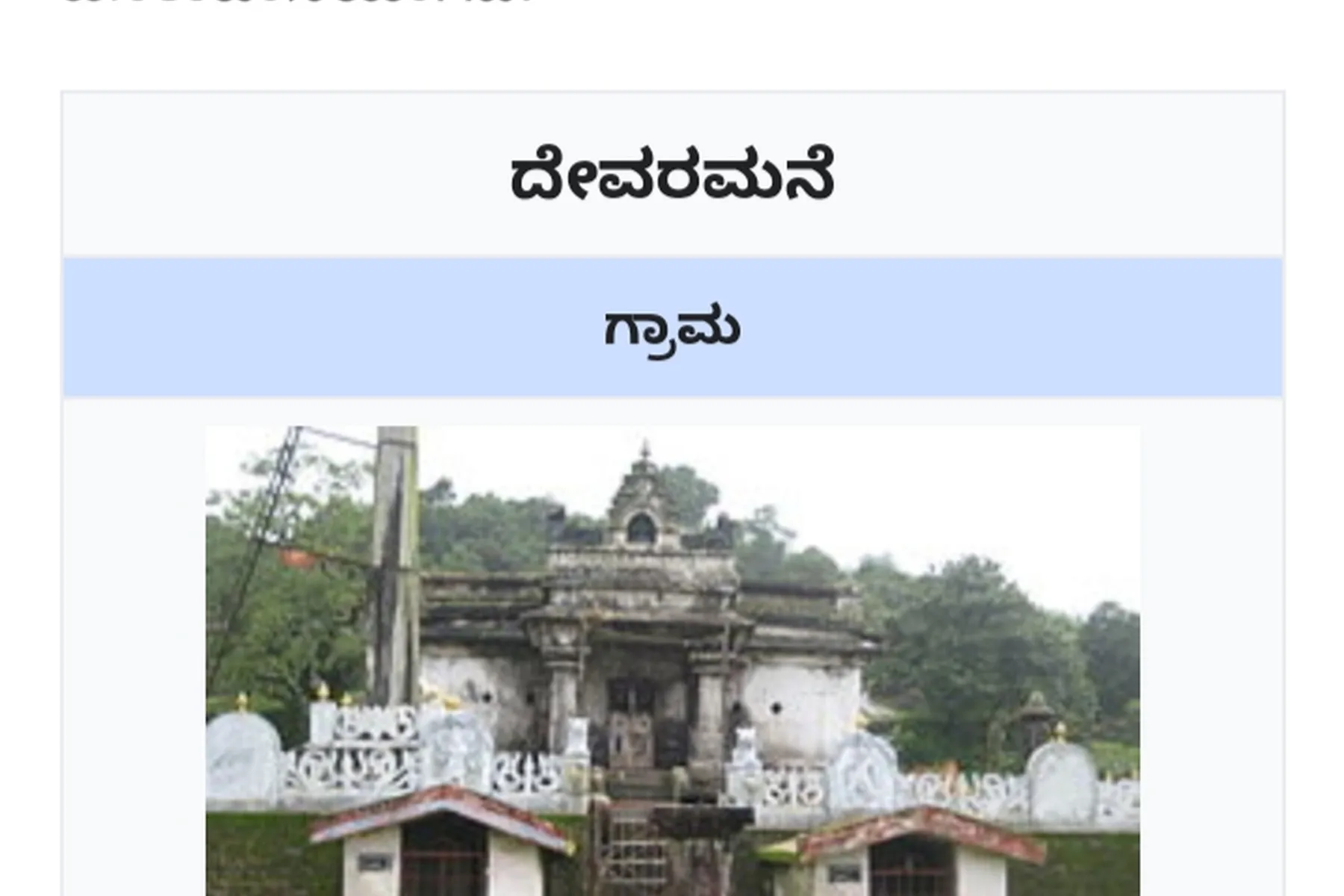
ದೇವರಮನೆ

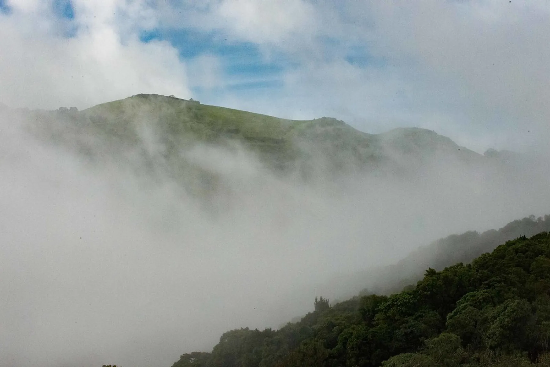
Devaramane Viewpoint (Devaramane Betta), about 52 km from Chikkamagaluru near the Kalabhairaveshwara Temple, is a hidden gem of rolling grasslands and panoramic Western Ghats views. Ideal in monsoon and post-monsoon. Distinct from Deviramma Betta near the Mullayanagiri side. Nearest attractions: Kalabhairaveshwara Temple, Panchami Kallu, Mudigere.

Short temple-side trek. Mist can erase the view quickly in the rains. Best route: Short trek from the Kalabhairaveshwara Temple.

Monsoon and post-monsoon

Panchami Kallu

Viewpoints · Mudigere

Panchami Kallu

ಪಂಚಮಿ ಕಲ್ಲು

Panchami Kallu is a lesser-known hilltop viewpoint about 55 km from Chikkamagaluru, near Devaramane and Kogre village. Surrounded by forests, coffee estates and valleys, it offers a serene trek away from crowds, with a unique rock viewpoint and panoramic Western Ghats views. Nearest attractions: Devaramane Viewpoint, Mudigere, Kalabhairaveshwara Temple.

Carry water and keep to daylight. Trails can be unclear — ask at Devaramane / Kogre.

September – February

Rani Jhari Viewpoint

Viewpoints · Mudigere

Rani Jhari Viewpoint

ರಾಣಿ ಝರಿ

Rani Jhari is among the most breathtaking viewpoints in the Western Ghats, about 70 km from Chikkamagaluru. Surrounded by valleys, forests and grasslands, it is especially beautiful in the monsoon and a favourite for sunrise, sunset and photography. Not the same place as Jhari (Buttermilk) Falls near Attigundi. Nearest attractions: Kudremukh, Netravathi Peak, Durgadahalli.

Exposed viewpoints — wind and cloud move fast. Keep daylight margin.

Monsoon and clear winter mornings

Bandaje Falls

Waterfalls · Mudigere

Bandaje Falls

ಬಂಡಾಜೆ ಜಲಪಾತ

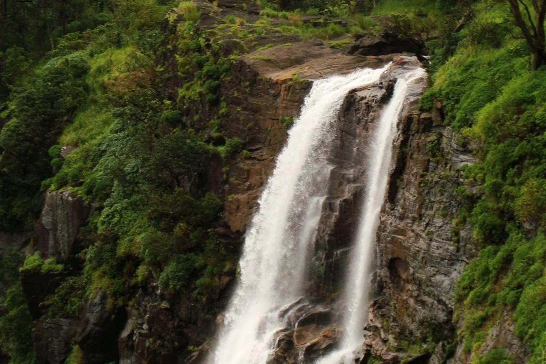
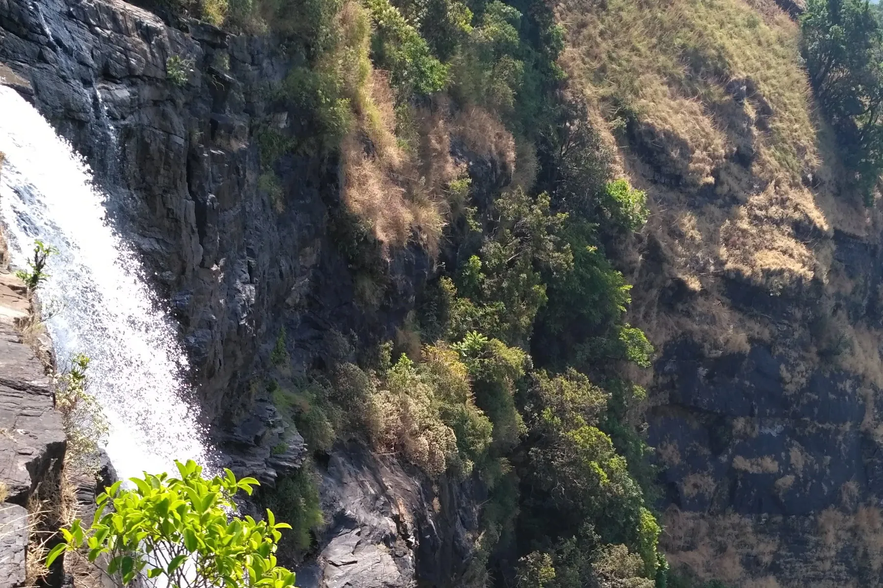
Bandajje / Bandaje Falls near Rani Jhari (Sunkasale Grama Panchayat), about 100 km from Chikkamagaluru, is a spectacular trekking destination of forest trails and pristine landscapes. The challenging walk rewards visitors with views of the waterfall and surrounding Western Ghats. Related ridge walking is also described under the Bandaje Arbi Traverse.

Serious trek terrain. Carry water, start early, and prefer local guidance. Not a casual roadside stop. Best route: Typically via SH66 and SH64 toward the Rani Jhari / Sunkasale side. Nearest attractions: Ballalarayana Durga, Rani Jhari, Kudremukh.

November – February

Kodige Falls

Waterfalls · Mudigere

Kodige Falls

ಕೊಡಿಗೆ ಜಲಪಾತ

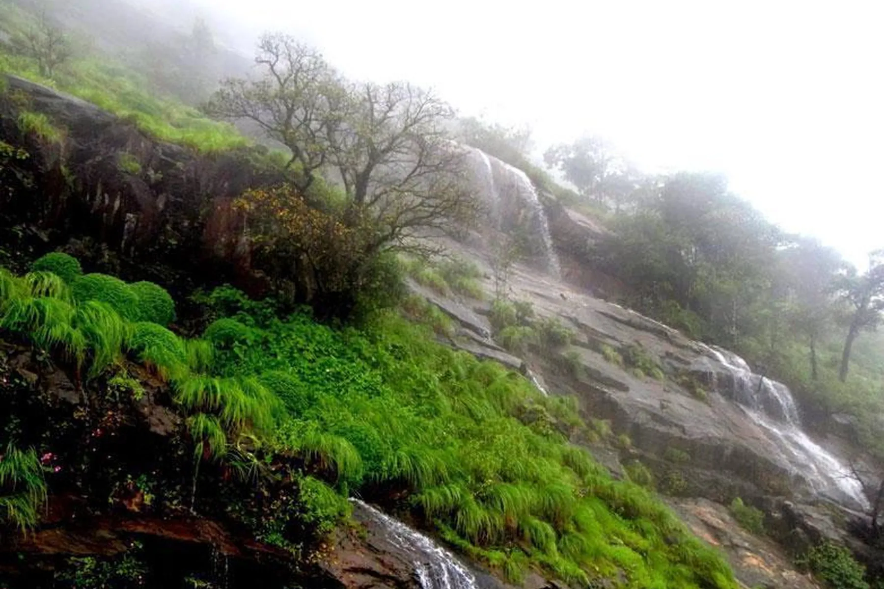
Kodige Falls, about 60 km from Chikkamagaluru near Durgadahalli, is a lesser-known gem tucked amidst dense forests and coffee plantations. The brochure describes a journey through lush greenery with the distant sound of flowing water — a serene escape rather than a crowded viewpoint.

Confirm the trailhead at Durgadahalli. After heavy rain, paths may be closed or slippery. Best route: Drive on SH57 toward Durgadahalli, where Kodige Falls is located.

July – January