The district · Tarikere

Tarikere

ತರೀಕೆರೆ

Kemmanagundi, Bhadra reservoir country and the Amruthapura temple terrace.

Waterfalls · 3Temples · 1Dams & reservoirs · 1Hill stations · 1Viewpoints · 1

7 places in this companion, descriptions from district tourism, temple and forest pages already on the public web. Not a complete gazetteer.

This taluk

Places on the map.

The district overview hid every pin. Here the listed sights sit on Tarikere’s OSM polygon. Click a marker to jump to its notes below.

Back to nine taluks

Visitor notes

Every listed place in Tarikere.

Hours, approach and “why people stop” come from public pages, the district, Karnataka Forest Department, mathas, not from a booking desk. Confirm before you go.

Bhadra Reservoir, Lakkavalli

Dams & reservoirs · Tarikere

Bhadra Reservoir, Lakkavalli

ಭದ್ರಾ ಜಲಾಶಯ

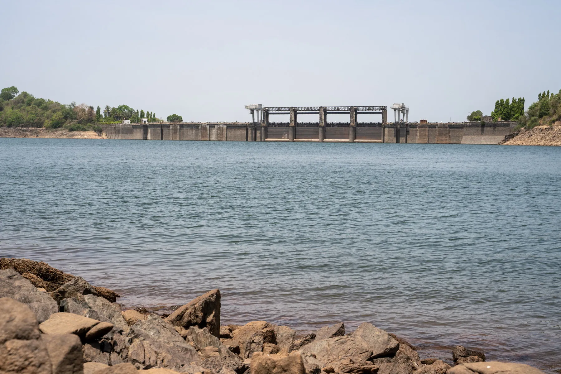
Lakkavalli Dam is a major landmark of Chikkamagaluru district, about 40 km from the city by the tourism brochure (via Tarikere on SH57). Lakkavalli in Tarikere Taluk holds a substantial dam on the Bhadra River for irrigation and power. Its verdant surroundings are part of the agriculturally important Malnad landscape and sit beside Bhadra tiger country.

One of Karnataka’s older large dams, holding the water that shapes the tiger reserve’s western edge. 2-day lists pair it with Bhadra forest.

Viewpoints in daylight, A working dam on the Bhadra. Any boating or gallery access is local. This is not a water-sports desk.

Dam-viewing points and any boating, if offered, are managed locally and may close. Do not assume public access to the dam structure itself. Best route: Southeast on SH57 from Tarikere to Lakkavalli Dam.
October – February

Kemmanagundi

Hill stations · Tarikere

Kemmanagundi

ಕೆಮ್ಮಣ್ಣುಗುಂಡಿ

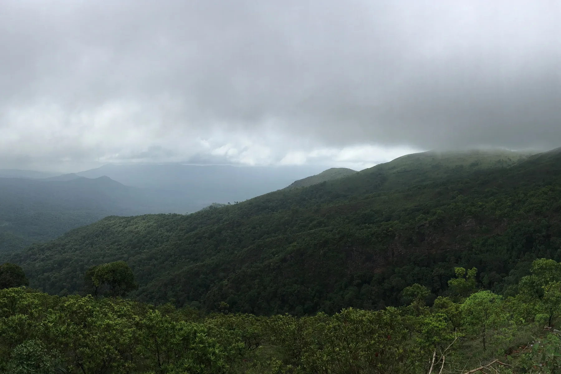
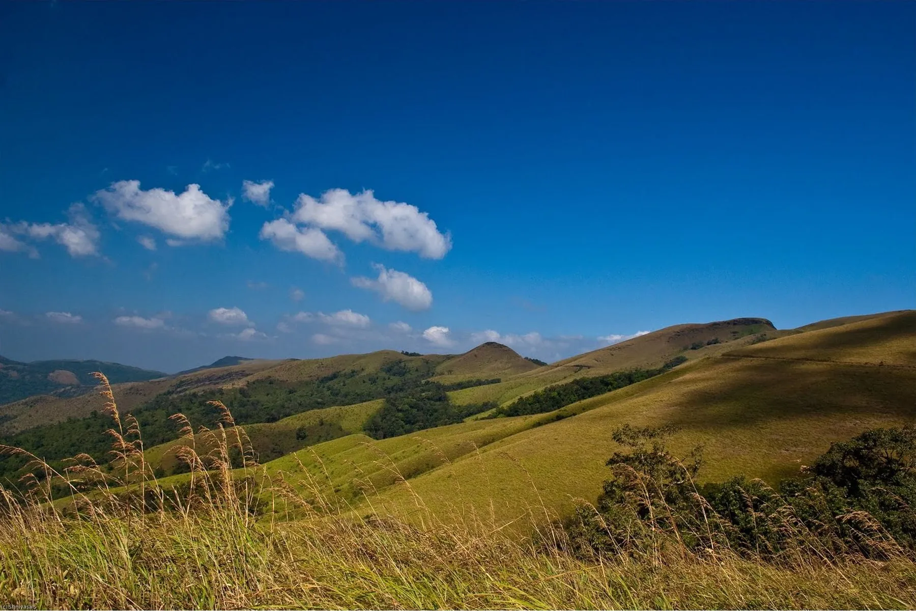
Kemmanagundi View Point / hill station sits about 60 km from Chikkamagaluru. The brochure highlights panoramic views of valleys, forests and mountain ranges, easy access for all ages, and popularity for sunrise, sunset and landscape photography. Cool mountain weather without a strenuous trek. Nearest attractions include Z Point, Hebbe Falls, Shanti Falls and Raj Bhavan.

A 1,434 m garden shelf on the same range, with ornamental beds, shola views and the road-head for Hebbe. First-timers often spend a cooler afternoon here when the town is hot.

Gardens often 09:00–18:00, Krishnaraja Wodeyar IV’s summer camp. Flower gardens are commonly visited through the day; Z Point walks belong to daylight. Confirm at the horticulture counter.

Lingadahalli is a common junction on the way. Garden hours, jeep tracks to nearby falls and any horticulture-department notices should be checked close to travel. Nearest attractions: Z Point, Hebbe Falls, Shanti Falls, Raj Bhavan.

September – February · 1,434 m

Amrutesvara Temple, Amruthapura

Temples · Tarikere

Amrutesvara Temple, Amruthapura

ಅಮೃತೇಶ್ವರ ದೇವಾಲಯ

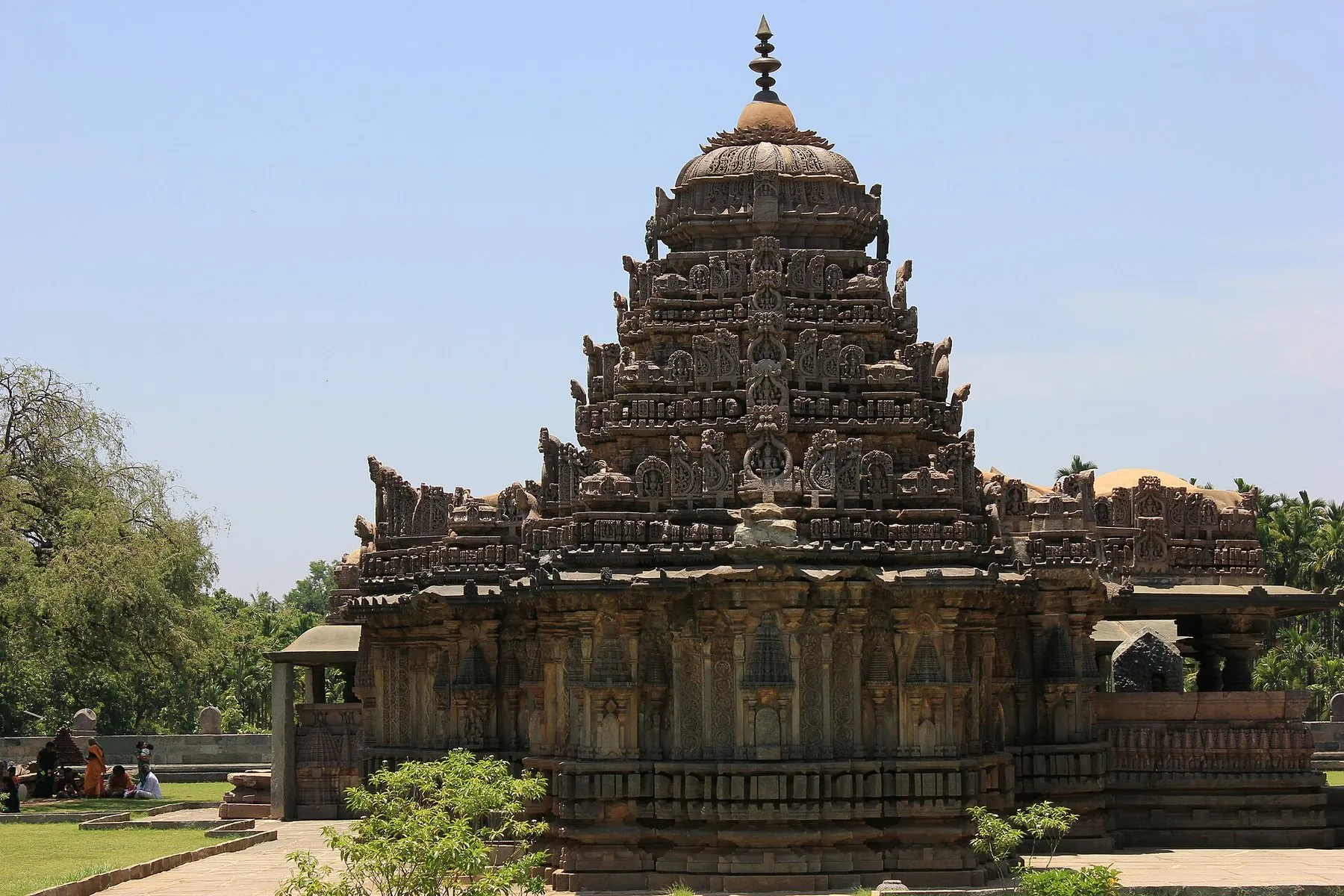
Amrutheshwara Temple at Amruthapura, about 74 km from Chikkamagaluru near Tarikere, is a magnificent Hoysala monument of the 12th century dedicated to Lord Shiva. It is renowned for intricate soapstone carvings of the Ramayana and Mahabharata and beautifully sculpted pillars. Nearest attractions: Tarikere, Lakkavalli Dam, Kemmanagundi.

The stone temple 2-day itineraries add when they swing north. Quiet compared with the ghats, and worth the extra kilometres if you care about Hoysala work.

Temple daylight, Built under Veera Ballala II. A relatively intact Hoysala shrine north toward Tarikere. No fee is quoted here.

A straightforward heritage stop off the Shimoga / NH side of the district. Follow ASI or local temple notices for photography and inner access.

All year

Z Point

Viewpoints · Tarikere

Z Point

ಝೆಡ್ ಪಾಯಿಂಟ್

Z Point is a popular trekking viewpoint near Kemmanagundi, about 67 km from Chikkamagaluru city in the brochure. It is known for spectacular sunrise views and panoramic Western Ghats vistas. The walk is generally easy for most visitors and passes forest and waterfall scenery. Nearest attractions: Kemmanagundi, Shanti Falls, Hebbe Falls.

The sunset shelf above Kemmanagundi. Weekend write-ups name it next to Hebbe because both hang off the same hill day.

Daylight; last light on the ridge, A few kilometres on foot from the hill station. Shanti Falls is a small stop on some descriptions of the same path. Return before dark, the track is unlit.

Wear shoes with grip; mist and wind can close the view without warning. There is no ticket information published here, treat this as a landscape walk, not a managed attraction with fixed hours. Best route: Trek from Kemmanagundi through forests; the path also passes scenic Shanti Falls country.

September – February

Hebbe Falls

Waterfalls · Tarikere

Hebbe Falls

ಹೆಬ್ಬೆ ಜಲಪಾತ

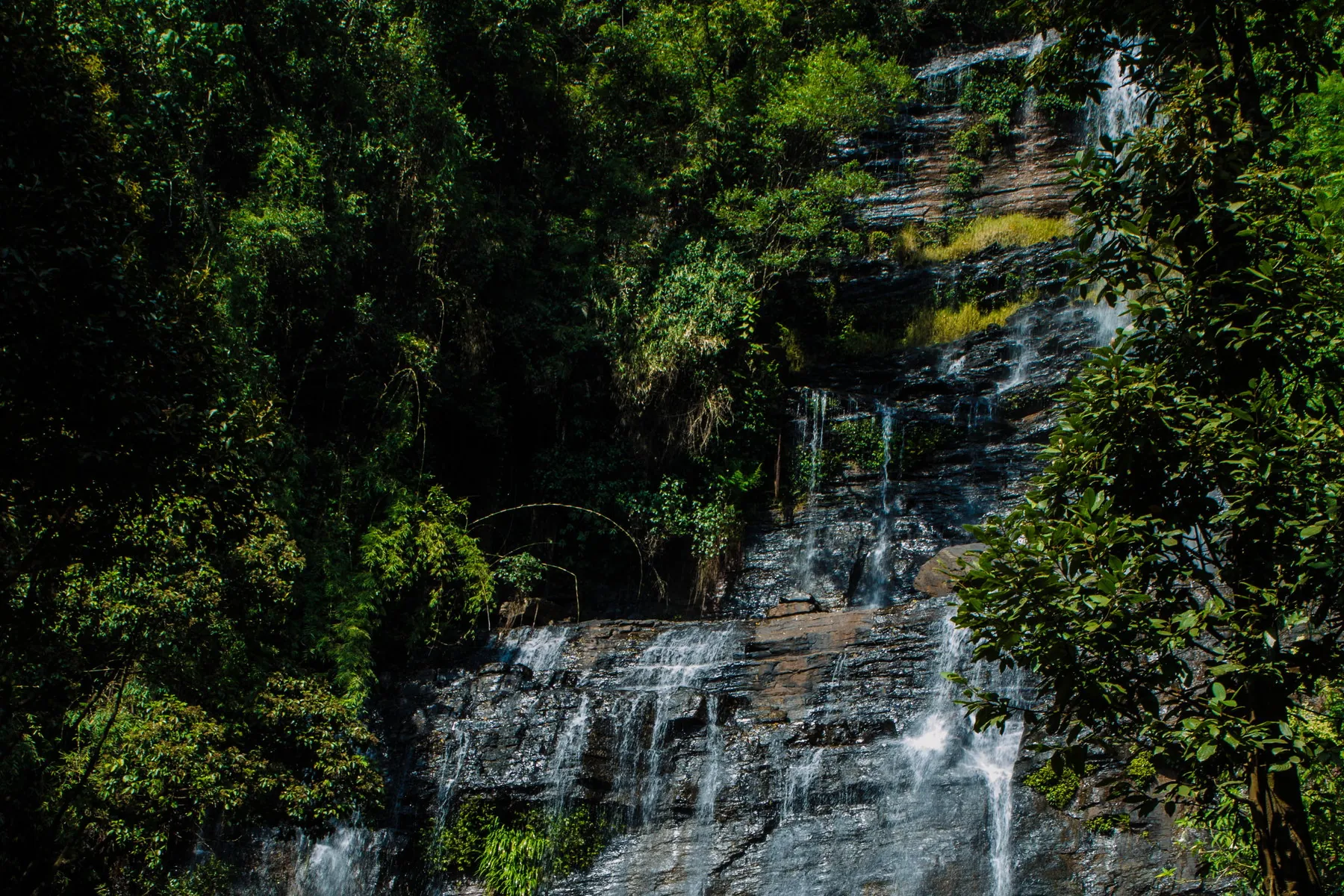
Hebbe Falls is a mesmerizing waterfall reached from the Kemmanagundi side (about 10 km from Kemmanagundi). Water drops in two stages, Dodda Hebbe (Big Falls) and Chikka Hebbe (Small Falls). The Department of Tourism notes the monsoon months (June–September) as the peak flow season, with swimming and nature time in a tranquil forest setting when access is open.

Dodda Hebbe and Chikka Hebbe drop through coffee and reserved forest below Kemmanagundi (about 10 km from the hill station). The tourism brochure flags June–September for peak flow. Access is usually by authorised jeep and can close with rain or forest rules.

Jeep window often 09:00–15:00, Cars stop before the forest stretch. Authorised jeeps from the Kemmanagundi side are the usual last miles. Confirm at the counter. No fee is quoted here.

Access is commonly via estate roads and local jeep arrangements, and it can close with rain, estate work or forest rules. There is no stable public fee listed here. Ask on the ground and prefer official or estate guidance. Best route: Scenic approach via Kemmanagundi; last stretch often by authorised jeep through forest and estate country.

June – September (peak flow); also strong through the post-monsoon

Kallathigiri Falls

Waterfalls · Tarikere

Kallathigiri Falls

ಕಲ್ಲತ್ತಿಗಿರಿ ಜಲಪಾತ

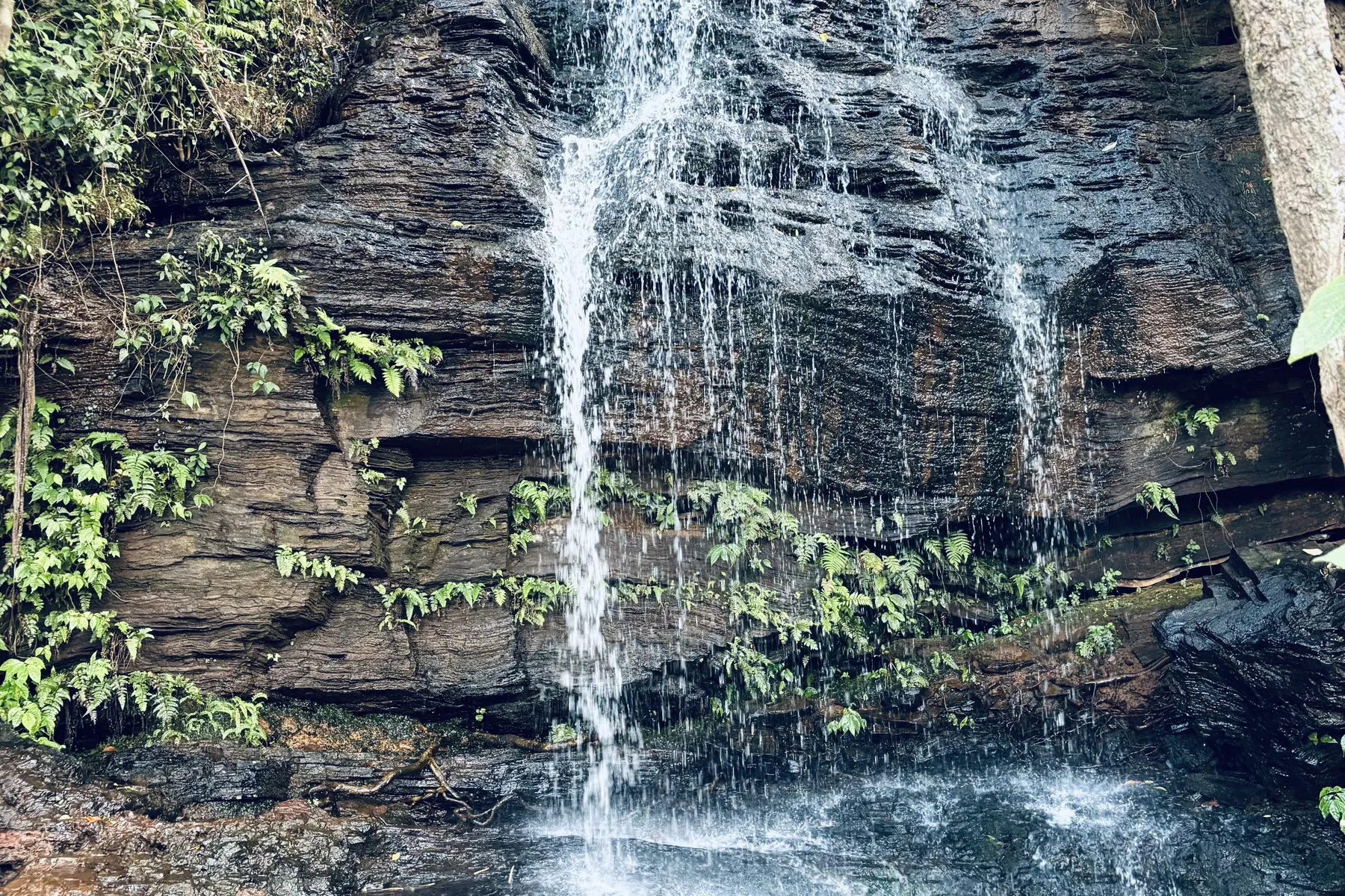
Kallathigiri Falls (also Kalathigiri / Kalhattagiri) cascades from a rocky cliff into a natural pool, surrounded by coffee estates and forest. The site also holds the Veerabhadra Temple, which draws devotees through the year and hosts an annual fair in March–April.

A familiar stop between town and the garden hills. 2-day lists include it because you pass it; the fall itself is seasonal.

Daylight on the Kemmanagundi road, A Veerabhadra shrine sits with the cascade. The road is the same hill line as Kemmanagundi. Wet rock; no herbal claims are made here.

The road is narrow. Park considerately and watch for spray on the tarmac in monsoon. Shrine practices are local, dress and behave accordingly. Best route: Via the Kemmanagundi / Kalathigiri village approaches.

July – February

Shanti Falls

Waterfalls · Tarikere

Shanti Falls

Shanti Falls

Shanthi (Shanti) Falls is a tranquil oasis in the Kemmanagundi hill station landscape, about 60 km from Chikkamagaluru city by the brochure. Surrounded by lush greenery, it is described as a quiet place for rest in pure mountain air.

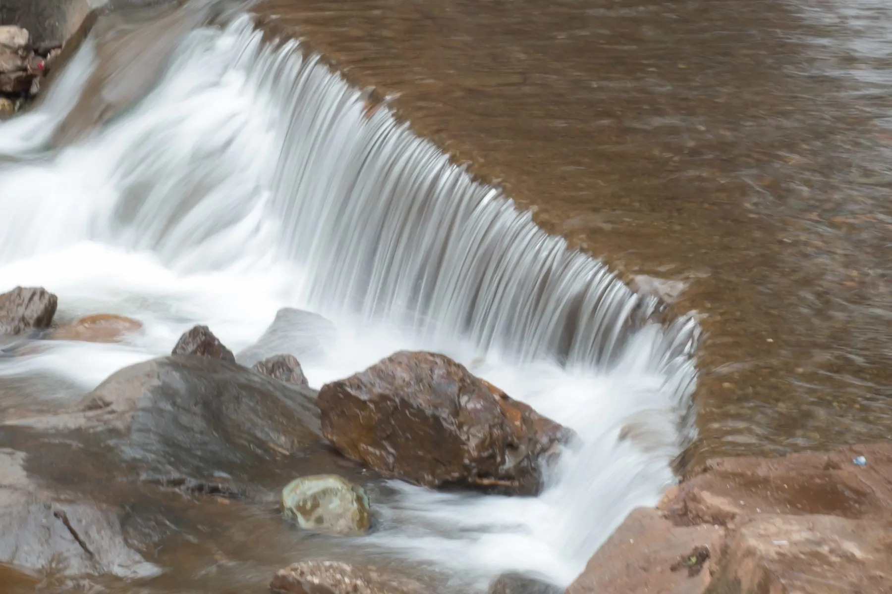
A small fall on the Z Point path at Kemmanagundi. Daylight only. Garden and horticulture notices at Kemmanagundi are the practical source. Best route: SH57 (Chikkamagaluru–Tarikere Road) toward Kemmanagundi for Shanthi Falls.

July – November